| |
|
| Home | |
| Project Descrition | |
| Project Objectives | |
| Methodology | |
| Main Stages | |
| Results | |
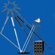
| Sensors Description | |
| Project Team | |
| Publications | |
| Products | |
| Contact us | |
| Links | |
Project Description Project Objectives |
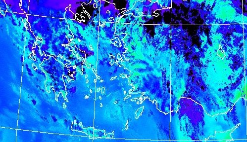
Project PRECIPITABLE WATER is a joint effort of one Greek and one Chinese Institute and one Greek Company aiming at providing accurate PW spatial distribution maps over Greece, capable of being used in regional and local studies. In particular, PW was derived using thermal infrared records of AVHRR (Advanced Very High Resolution Radiometer) onboard NOAA satellites provided both by FORTH satellite receiving station and by NOAA Satellite Active Archive. A split window algorithm was adjusted for the area of Greece in order to estimate PW spatial distribution. PW data derived from MODIS (Moderate resolution Imaging Spectrometer) Atmospheric Product and radiosonde measurements were used for algorithm calibration and validation. The adjusted algorithm was applied to all AVHRR data and a database containing the PW spatial distribution maps over Greece was developed.
|
| Other Projects | ||
|
||