| |
|
| Home | |
| Project Descrition | |
| Project Objectives | |
| Methodology | |
| Main Stages | |
| Results | |
| Sensors Description | |
| Project Team | |
| Publications | |
| Products | |
| Contact us | |
| Links | |
Project Description Main Stages |
|
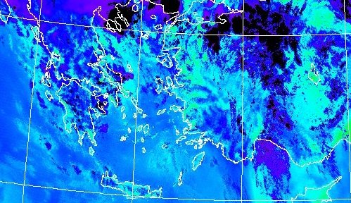
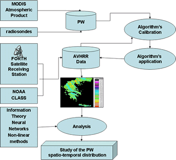
Methodology developed during PRECIPITABLE WATER project was based in one hand on calibrating a split window algorithm for extracting PW for the area of Greece, from sattelite data and on the other hand on creating a data base for further analysis. In the Figure the main stages of the PRECIPITABLE WATER project are presented. AVHRR data were used, received from FORTH Satellite Receiving Station and NOAA, PW values for the area of Greece from MODIS Level 2 PW Atmospheric Product combined with radiosonde mesurements from synoptic stations of Athens, Thessaloniki, Heraklion and Ismir. Split window algorithm was calibrated and a database of spatial distribution of PW was created for the time period of 2001 - 2005. Finally, the database was analized with the use of non-linear methods. |
 |