Helsinki case study
Helsinki is a high latitude with rapid urbanization city that requires a substantial amount of energy for heating. Helsinki (and its Metropolitan Area) needs to considerably reduce greenhouse gas emissions, to increase the share of renewable energy sources in the production of district heating and electricity, to improve the energy-efficiency of the building stock, to extend the regional public rail transport network, to improve eco-efficiency in construction and service delivery and decrease waste production.

The area identified for development is within 600m from the Metro station. The planning objectives for the area are: to provide new housing for the growing metropolitan areas, built to address climate change (i.e. densification of urban structure, focus on railway and metro stations); to provide and places of work mixed with housing; to deal with demographic polarization (i.e. immigration issue); to move towards more owned dwellings and bigger apartments; to improve services; to maintain sufficient and continuous recreation and habitats; and to improve accessibility to nature areas.
Three preliminary alternatives have been proposed with varying combinations of housing density and office space, and differing relative footprints. All alternatives include the protection of the waterfront and geological heritage on site. The alternatives will be assessed in terms of cost (realization and profit), social cohesion, air quality and energy consumption.
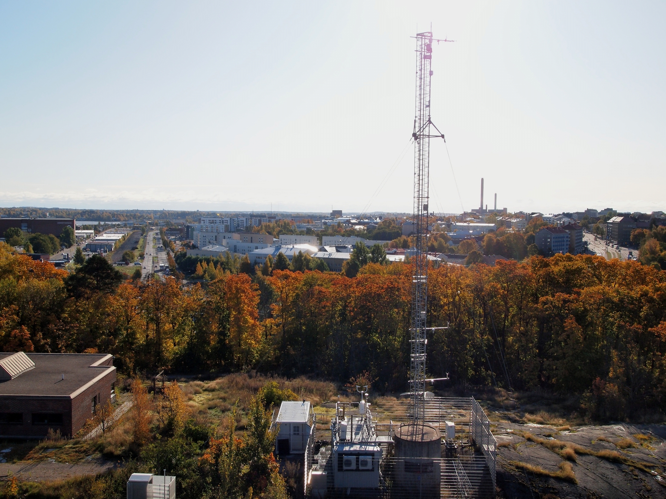
Measurements at Helsinki are carried out in two locations, Kumpula and Viikki. The air quality and meteorological measurements are taken at the Kumpula site (60°12´N, 24°57’E, 26 meters above sea level), which is located at the University of Helsinki campus area about five kilometres from the Helsinki city centre. Most of the measurements of air quality, energy, water, carbon and pollutants fluxes are carried out at the urban measurement station SMEAR III. Measurements are carried out in a 31 meters high triangular lattice tower, which is equipped with meteorological instrumentation at several heights. The surroundings in Kumpula are heterogeneous consisting of buildings, paved areas and vegetation, and three distinct areas of land use have been recognized in different wind directions. In direction 320-40°, lays the urban sector with high fraction of building with mean height of 20 meters and paved areas. One of the main road leading to the Helsinki city centre with 45 000 vehicles per workdays passes the road sector (40-180°) with a distance of 150 meters from the measurement tower. The area between is covered with deciduous forest. The vegetation sector is located in direction 180-320°, where the University Botanical garden and an allotment garden are located.
The multidisciplinary urban ecosystem and plant research will take place in Viikki area, seven kilometers from the Helsinki city centre. Viikki area consists of the University campus area, new residential areas build since early 2000’s and extensive green areas. The measurements are done on two streets with south–west and north-east direction. The streets are paved with local pillar type black alder and lime trees growing there. The streets have been build in 2002 using normal construction techniques, one street in normal modern residential area and one in an office area. Three different urban load bearing soil mixtures currently used in Helsinki are tested at the sites.
A. In-situ datasets of air quality, energy, water, carbon and pollutants fluxes/concentrations
The following data will be provided:
- Time series and spatially extensive data sets of air quality and surface fluxes.
- Turbulent fluxes and distribution of trace gas and particle concentrations.
More specifically the collected data are:
Air quality:
Concentrations of H2O, CO2, NOx, O3, CO, SO2
Particle number flux (starting from 6nm)
Particle number size distribution
Principal outdoor pollutatnts (VOCs, contaminants, etc.)
Soil gas profiles (at 3 depths)
Indoor air quality:
Particulate matter values -PM1, PM2.5, PM10
Meteorological parameters:
Air pressure
Air temperature
Air temperature (next to trees)
Precipitation
Relative humidity
Stormwater quality (analysis of turbidity, conductivity and temperature, analysis of heavy metals, nutrients, organic pollutants, etc.)
Stormwater quantity
u, v components
Micrometerological parameters:
All three wind components (u, v and w)
Friction velocity
Sensible and latent heat fluxes and CO2 flux
Wind speed and direction
Plant:
Diameter growth (6 trees)
Diurnal stem and bark diameter variation (6 trees)
Sapflow (6 trees)
Radiation:
Radiation PAR (next to trees)
Up- and downward long- and shortwave radiations + PAR
Soil:
Soil moisture profile3 depths
Soil temperature profile3
Visual comfort:
Light distribution
Weather station:
Temperature, rain, etc
B. Remote sensing and GIS data and maps of energy and water fluxes, pollution concentrations, land cover and vegetation, spatial and socio-economic development
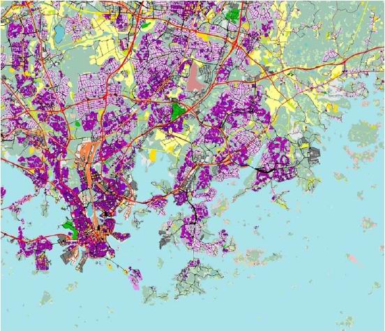
The following satellite, airborne and GIS data, in order to produce maps of energy and water fluxes, pollution concentration, land cover and vegetation, spatial and socio-economic development, are available:
- Urban land cover/land use maps
- Land use classification map from satellite data
- 3D maps of city
- Airborne images
- Digital Elevation Model (DEM)
- High resolution satellite data products
- Unemployment
- Income level
- Population distribution
- Average household size
- Education level
- Average price of old dwellings (flats)
- Migration figures
- Construction density
- Car ownership
- Planning alternatives of the Meri-Rastila DSS area

